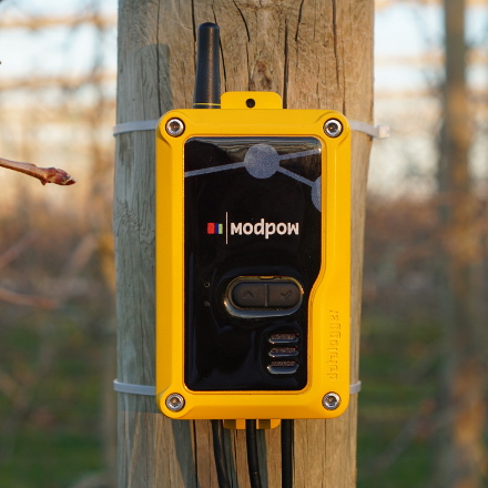
It is known that drones are the future. But what can drones do for agriculture? Can they pick fruit and put them into baskets? Why do drones fly and take pictures of crops? To know more about this we have researched the real case of a company currently offering services with drones. A drone, also called an "unmanned vehicle", is an aircraft that flies over the Earth's surface in order to capture images, generate maps, and perform many other functions. HEMAV is a company located in Barcelona that works with drones and offers services for the agricultural sector. We spoke with Carlos Ferraz, co-founder of HEMAV, who gave us more information about these currently expanding vehicles.
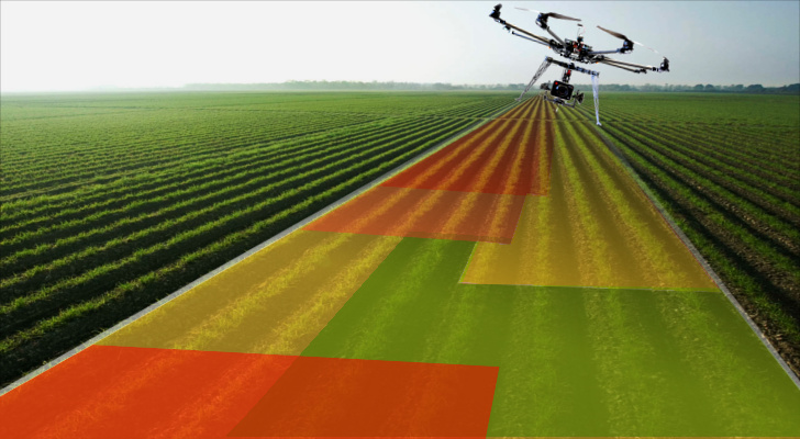
The big question is: How can drones optimize costs while increasing production and the quality of our crops? Carlos explains that a drone is a data acquisition tool equipped with sensors and cameras. Once the data is collected, if necessary, they can be processed by algorithms. The result of this process allows the specialists to perform advanced analytics. For example, with appropiate sensors, fertilizer recommendations and structural analysis of crops can be made. Farmers will be able to make better decisions regarding their crops. Let's go into more detail and see how they provide us fertilizer and structural recommendations. Fertilizer Recommendations "In the case of fertilization, a map is generated with general recommendations about the applicable dose", Carlos says. "It's proven that fertilizing in a variable way affects determinedly the final productivity" he adds. This recommendation may vary depending on the infrastructure of the farm: 1. In the case of having a tractor with variable application systems based on satellite positioning, it is possible to integrate fertilization maps of drone flights. 2. If the fertilizer application is done manually, a map with smaller resolution will be provided. Then, by using a tablet, the farmer can change the fertilizer amounts depending on the area. 3. In the case of having a fertigation system (irrigation combined with fertilizer), it is possible to separate the field according to irrigation zones. Structural Recommendations The mission is to generate a map which allows us to detect structural problems and offer general recommendations on irrigation, fertilization, pruning, growth, etc. "If a farmer has this information whether on paper or in digital form, he will be able to make changes to his crops", says Carlos. For more information about these services please visit Hemav.com